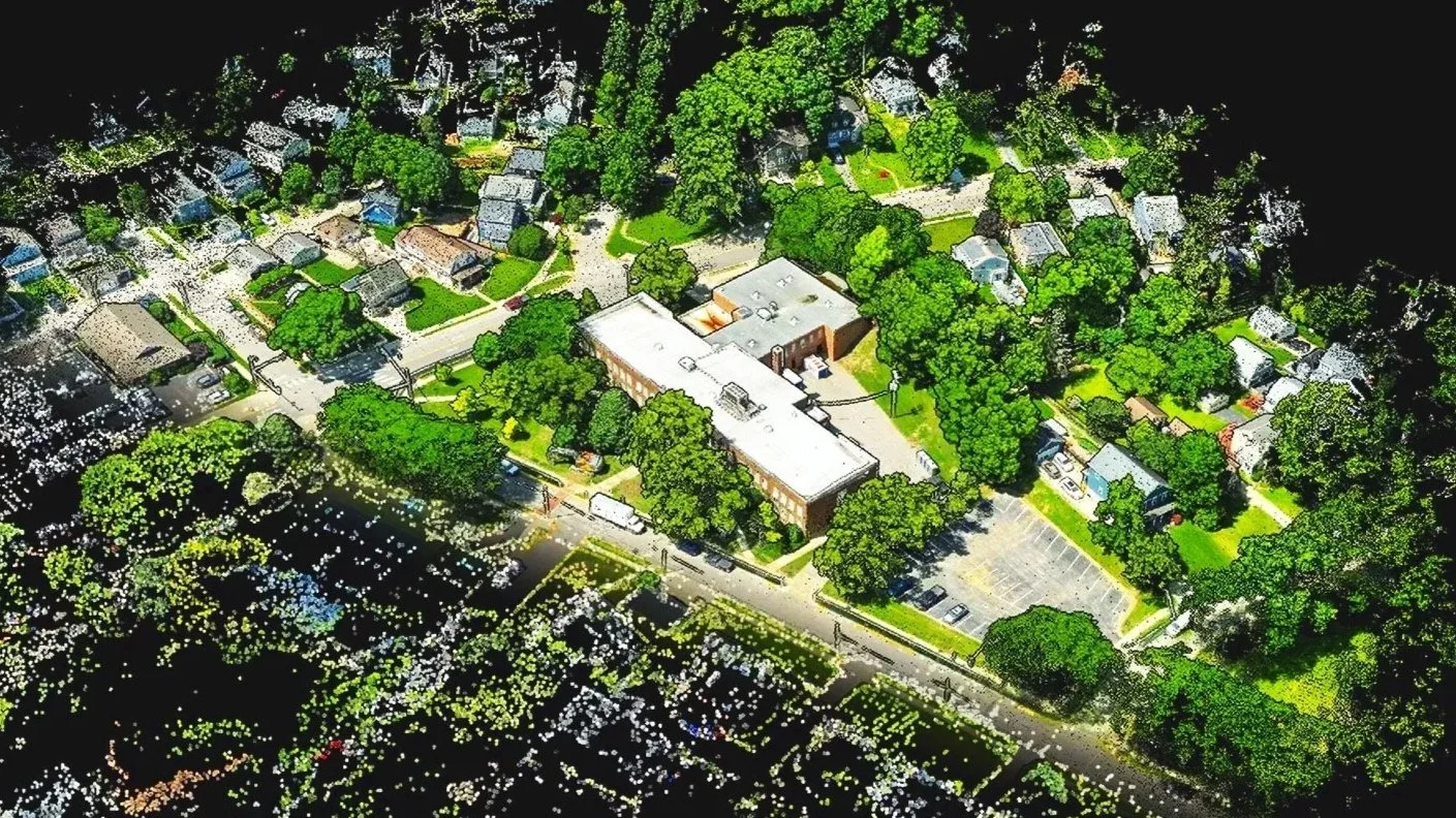
3D Modeling & Drone Mapping in Columbus, Ohio
See your site from every angle. Aerotech Systems transforms aerial photographs into detailed 3D models, high-resolution maps, and spatial data for construction documentation, property planning, environmental projects, and historic preservation throughout Central Ohio.
3D Models
Detailed, textured models of buildings, terrain, and construction sites—created from aerial photography for visualization, documentation, and presentation.
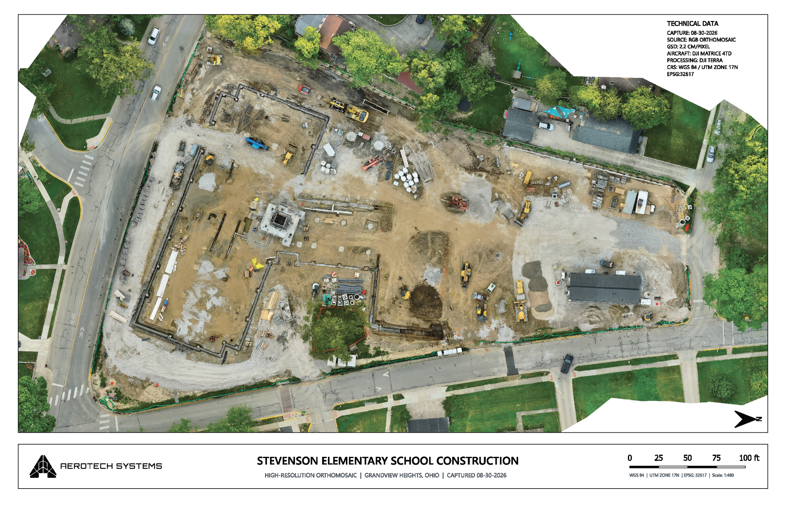
Aerial Maps
High-resolution orthomosaic maps that combine aerial photographs into a detailed overhead view of your property or project area.
Point Clouds & Surface Models
Three-dimensional site data and elevation surfaces for use in compatible mapping, design, and analysis software.