
About Aerotech Systems
A Local Perspective. A More Detailed View.
Based in Grandview Heights, Ohio, Aerotech Systems provides 3D modeling, drone mapping, aerial photography, and thermal imaging throughout Central Ohio. We help clients document properties, understand site conditions, and see their projects from a new perspective.
Experience Behind the Images
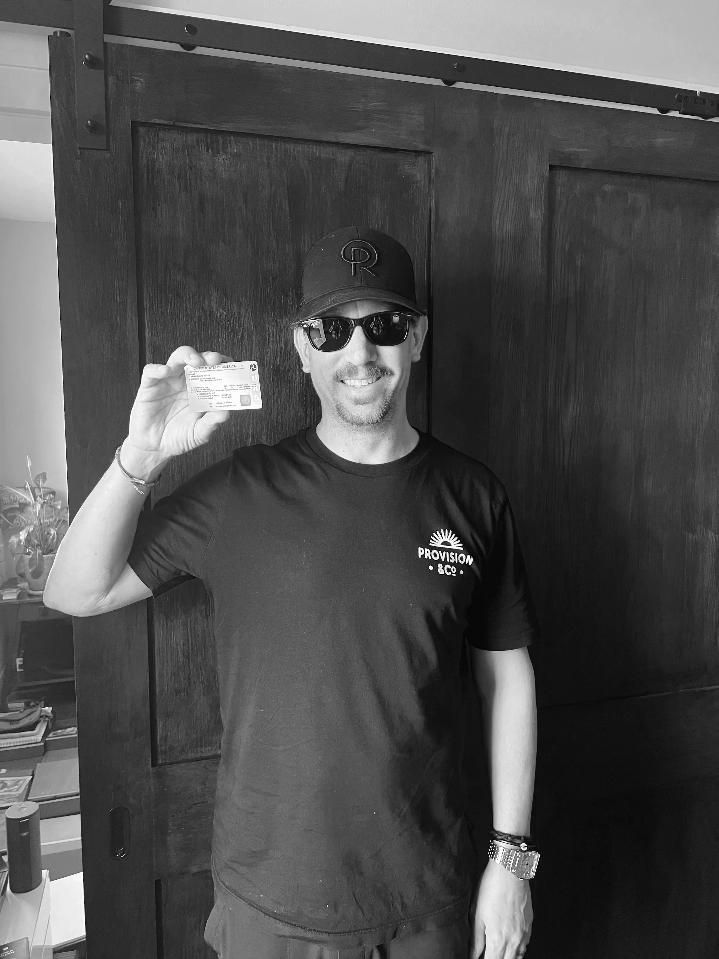
Aerotech Systems is led by Brian, an FAA Part 107-certified remote pilot with approximately 20 years of environmental consulting and project management experience with an Environmental Science degree from The Ohio State University.
That experience shapes our approach: understand the project, capture the right information, and deliver imagery and models that are useful long after the flight. From construction documentation to environmental projects, we combine field experience with detailed aerial capture.
Equipment Built for the Work
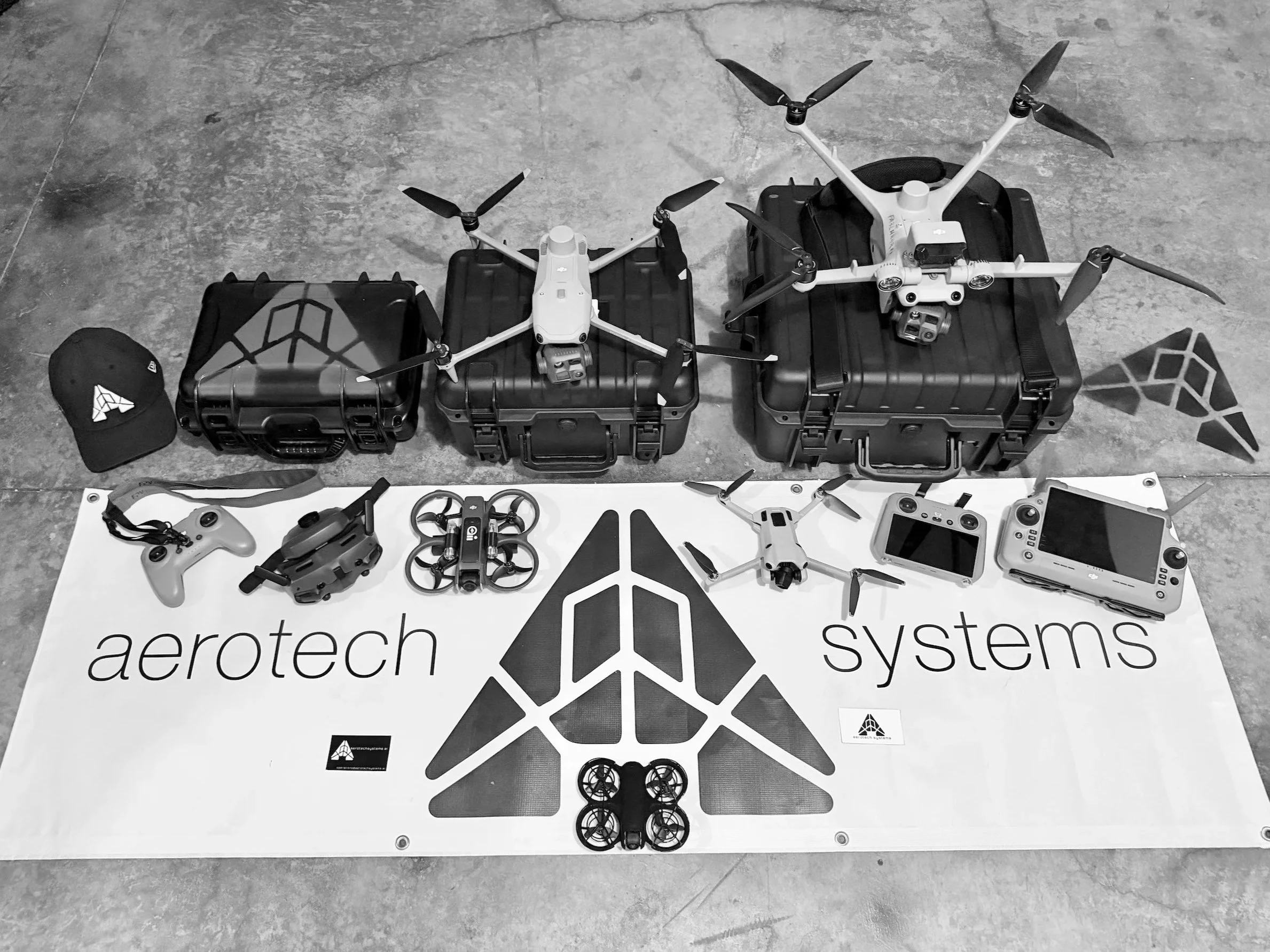
Our fleet includes the DJI Matrice 4TD, an enterprise aircraft with high-resolution cameras, thermal imaging, and IP55-rated dust and water resistance. Additional aircraft support close-range photography and interior fly-throughs, allowing us to choose equipment suited to each project.
We carry $2 million in aviation liability coverage, with certificates of insurance available upon request.
Rooted in Grandview. Serving Central Ohio.
We take particular pride in documenting the places changing around us—from local construction projects to community spaces. Alongside our mapping and imaging services, we offer coordinated aerial support for first responders and local search operations, subject to availability and flight conditions.
Let’s Talk About Your Project
Whether you need a detailed 3D model, recurring construction imagery, or a closer look at your property, we’d welcome the opportunity to help.