
Rapid Deployment & Aerial Support
Based in Grandview Heights, Aerotech Systems offers aerial and thermal imaging support for coordinated searches, first-responder operations, and urgent property assessments. We provide an overhead perspective to help teams understand conditions and identify areas that need a closer look.
Search & Rescue Support
Thermal and visible-light imagery can help search teams examine open areas, scan difficult-to-access locations, and identify potential subjects for closer investigation. Flights are coordinated with the team leading the search to complement efforts on the ground.
First-Responder Support
Give responding teams another view of the scene. Aerial imagery helps show access routes, surrounding terrain, and visible site conditions, supporting situational awareness during coordinated public-safety operations.
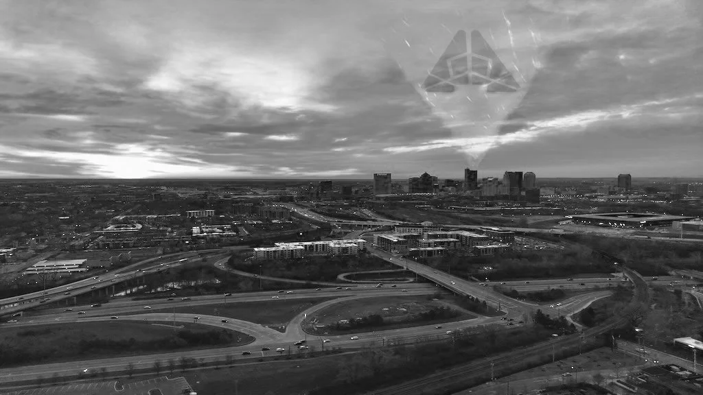
Urgent Property Assessments
Document visible damage and areas of concern following storms or unexpected events. Aerial photographs and thermal imagery help property owners and contractors assess conditions and prioritize follow-up inspections.
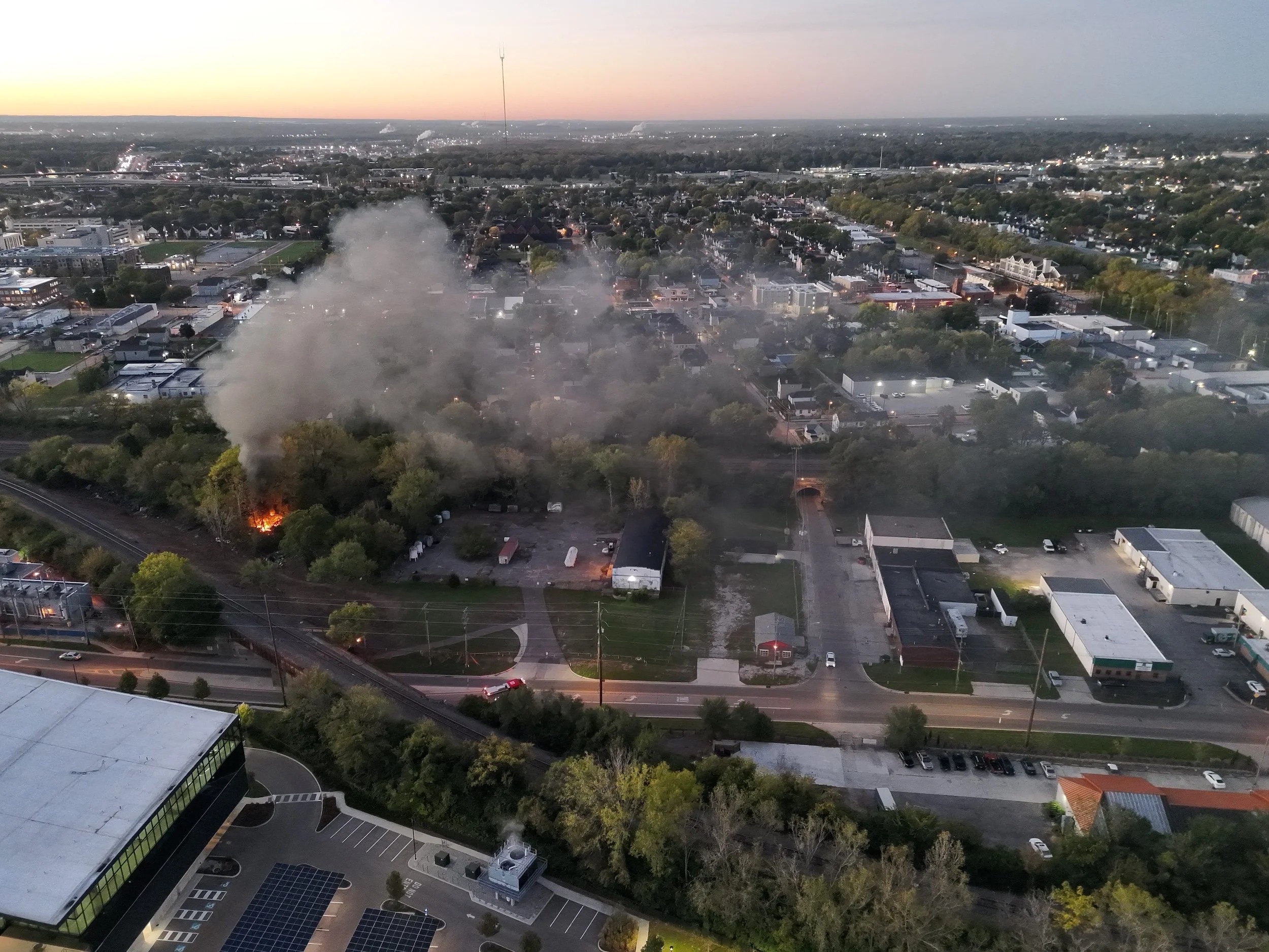
Local Support Starts With a Conversation
Contact Aerotech Systems to discuss response needs or establish a point of contact before support is needed.
Deployment is subject to pilot availability, weather, airspace, and coordination requirements.